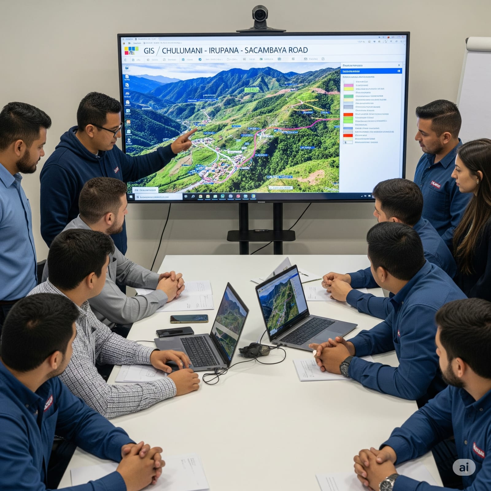
DESARROLLO DEL SISTEMA DE INFORMACIÓN GEOGRÁFICO (SIG) PARA EL ESTUDIO TESA CARRETERA CHULUMANI - IRUPANA - SACAMBAYA
Descripción General
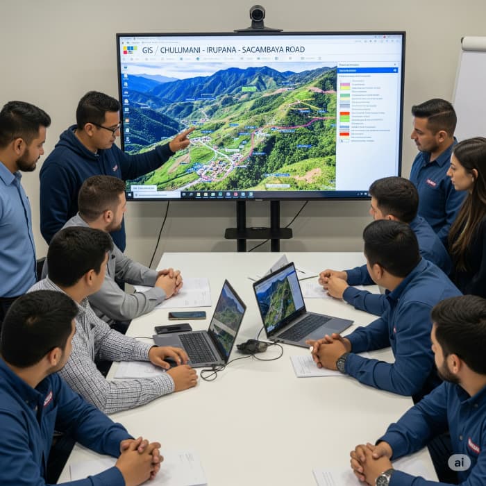
El proyecto consistió en la elaboración del diseño de un Sistema de Información Geográfica (SIG) como herramienta de soporte para el Estudio Integral (TESA) del proyecto carretero Chulumani – Irupana – Sacambaya. El sistema fue diseñado para integrar información territorial clave y facilitar el análisis espacial en la toma de decisiones técnicas, sociales y ambientales. Contenido del SIG: Información de Población y Habitantes Terrenos Agrícolas Edificaciones Importantes Estructuras Viales Relevantes Otros elementos georreferenciados pertinentes al trazado y área de influencia del proyecto vial Características Técnicas del Sistema: Lenguaje y Framework: PHP con Laravel 5.1 bajo el patrón de arquitectura MVC Generación de Reportes: FPDF versión 1.6 Interfaz y Visualización: ExtJs 5 para manejo de grillas, tablas, paginación y Dashboard Bibliotecas Adicionales: jQuery 2.2.3 Georreferenciación: OpenMaps Servidor de Mapas: MapServer Base de Datos: MySQL 5 Sistema Operativo: Debian GNU/Linux Servidor Web: Apache El SIG constituye una herramienta robusta, escalable y adaptable, que permitió consolidar datos espaciales críticos, apoyar el análisis multidisciplinario del estudio, y facilitar la planificación territorial vinculada al trazado de la carretera.
Galería
Área Técnica
Sistemas y Telecomunicaciones
Tipo de Servicio
CONSULTORÍA
Ubicación
La Paz, Bolivia
Período
2012 – 2013
DESARROLLO DEL SISTEMA DE INFORMACIÓN GEOGRÁFICO (SIG) PARA EL ESTUDIO TESA CARRETERA CHULUMANI - IRUPANA - SACAMBAYA
KRETCO S.R.L.
La Paz – Bolivia
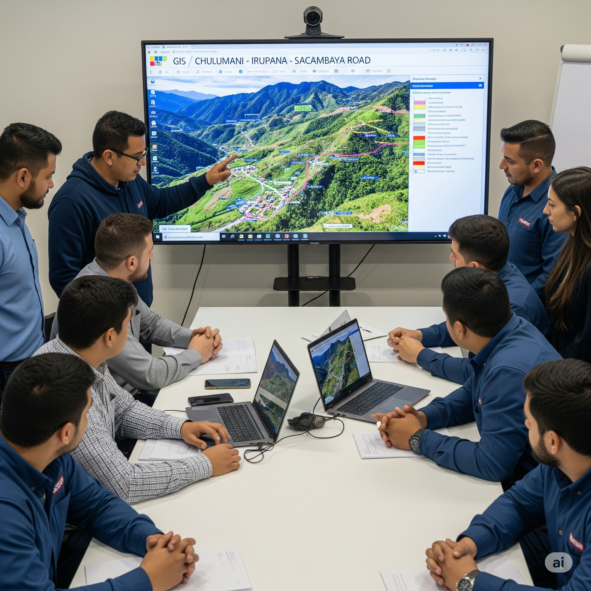
El proyecto consistió en la elaboración del diseño de un Sistema de Información Geográfica (SIG) como herramienta de soporte para el Estudio Integral (TESA) del proyecto carretero Chulumani – Irupana – Sacambaya. El sistema fue diseñado para integrar información territorial clave y facilitar el análisis espacial en la toma de decisiones técnicas, sociales y ambientales. Contenido del SIG: Información de Población y Habitantes Terrenos Agrícolas Edificaciones Importantes Estructuras Viales Relevantes Otros elementos georreferenciados pertinentes al trazado y área de influencia del proyecto vial Características Técnicas del Sistema: Lenguaje y Framework: PHP con Laravel 5.1 bajo el patrón de arquitectura MVC Generación de Reportes: FPDF versión 1.6 Interfaz y Visualización: ExtJs 5 para manejo de grillas, tablas, paginación y Dashboard Bibliotecas Adicionales: jQuery 2.2.3 Georreferenciación: OpenMaps Servidor de Mapas: MapServer Base de Datos: MySQL 5 Sistema Operativo: Debian GNU/Linux Servidor Web: Apache El SIG constituye una herramienta robusta, escalable y adaptable, que permitió consolidar datos espaciales críticos, apoyar el análisis multidisciplinario del estudio, y facilitar la planificación territorial vinculada al trazado de la carretera.